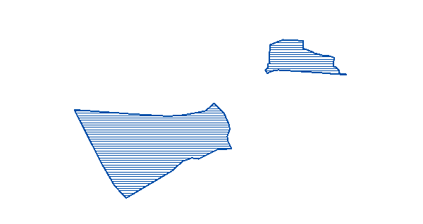
The map service shows public outdoor recreation areas owned by the Norwegian state.

| Description |
Min scale |
Max scale |
GetLegendGraphic (WMS) |
|
Public outdoor recreation areas owned by the Norwegian state.
|
|
Public outdoor recreation areas owned by the Norwegian state.
|
|
|

|
Technical platform
ArcGIS Server
Server Url
https://kart.miljodirektoratet.no/arcgis/services/friluftsliv_statlig_sikra/mapserver/WMSServer
Technical platform
ArcGIS Server
| Date |
Change |
Note |
| 7/5/2018 |
URLer endret til https:// |
http:// will still work |
|
http:// will still work
|
| 6/11/2018 |
Ny tjeneste |
Tjeneste er etablert på ny plattform. Det er mindre endringer i datamodell og feltnavn |
|
Tjeneste er etablert på ny plattform. Det er mindre endringer i datamodell og feltnavn
|
| 1/21/2013 |
Nye felt og endrede feltnavn |
New fields and field names added to layers. |
|
New fields and field names added to layers.
|
| 11/1/2011 |
Nye spesifikasjoner for karttjeneste |
The Map Service established on a new server platform based on ArcGIS Server. New specifications for Url, servicenames and layernames. |
|
The Map Service established on a new server platform based on ArcGIS Server. New specifications for Url, servicenames and layernames.
|
| 11/10/2010 |
Ny målestokksterskel |
Map scale limit set to 1:1.000.000. |
|
Map scale limit set to 1:1.000.000.
|
| 10/1/2003 |
WMS-tjeneste etablert |
Map Service for Outdoor recreation areas from Naturbase established and published |
|
Map Service for Outdoor recreation areas from Naturbase established and published
|